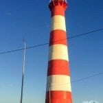
Kalbarri itself is a beautiful little town, with white sandy beaches and a plethora of stunning scenery nearby.
After leaving the Murchison River Caravan Park where we spent the night, our first stop was just across the road to see the beach.
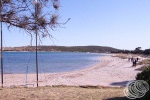
Kalbarri is located at the mouth of the Murchison River, and the town beach is actually inside the river’s mouth.
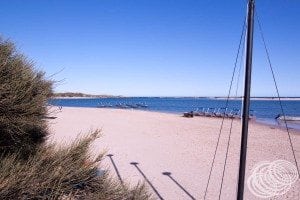
Heading out towards the headland, is Chinaman’s Point, just off the main road through town.
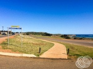
From here, you get 360-degree views.
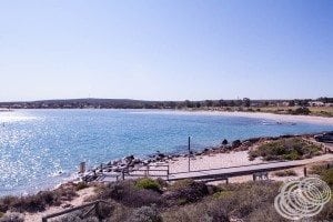
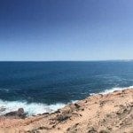
You can see down the river mouth, back towards town, across the river to the northern coastline, and down the southern coast to Red Bluff.
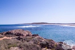
From Chinaman’s Point you can also get out to more beaches, but they are pretty rocky.
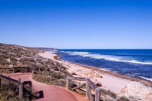
红崖
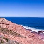
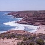
Heading south along the coast from Kalbarri, the first stop is only 5.5 km’s away, Red Bluff, the same Red Bluff you can see from Chinaman’s Point.
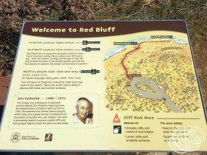
As you might guess, Red Bluff is named because of the vibrant red sandstone that you can’t miss.
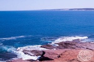
From the carpark, there are two lookouts, both on the same paved track. The closest, Pederick Lookout, is 700m return and has views looking south towards Eagle Gorge.
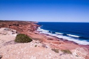
Red Bluff Lookout, on the other hand, is 1km return with views back to the town of Kalbarri.
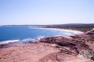
It is paved all the way out, except for the very end which has some sandstone steps down. If you have mobility impairments, you might not be able to make those last few metres, but the view from the top is arguably better anyway!
If you are feeling particularly adventurous, there is also a 1km dirt track from Pederick Lookout down to the beach from Red Bluff. It’s pretty steep and uneven in places though so do be careful if you take it.
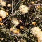
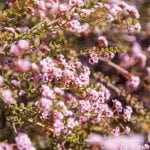
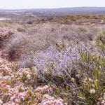
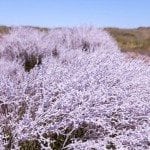
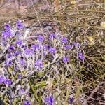
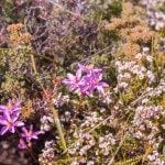
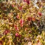
When we were here in September, there were lots of wildflowers in all different colours that added to the vibrancy of the sandstone.
鹰峡谷
It’s not far down to Eagle Gorge, another of Kalbarri’s sandstone formations, just 5km’s by car. Between the two is Pot Alley, we decided to give this one a miss though. Eagle Gorge is the starting point of the Bigurda Trail, an 8km paved walking track that follows the coast to all the key landmarks including the Shellhouse, Grandstand, Island Rock, Castle Cove, and ending at the Natural Bridge.
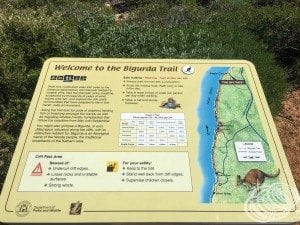
If you visit between May and September, you’ve got a good chance of seeing Humpback Whales off the coast as they migrate, we spotted one while we were here!
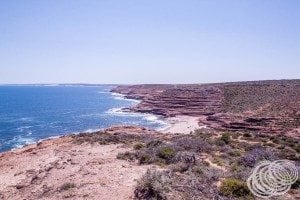
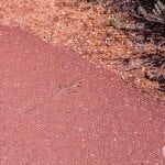
Eagle Gorge is, as its name might suggest, known for the wedge-tailed eagles that have made it their home. We were really hoping to see one of these massive birds, but unfortunately, it was not to be. We did see even more wildflowers and a lizard though.
天然桥
The access road for the remaining attractions puts the Natural Bridge right at the end, so we started there and worked our way back seeing everything except for the Shellhouse.
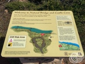
From the carpark, it’s a 750m return walk on a paved track to the Natural Bridge viewing platform.
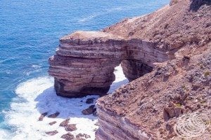
It’s similar to the other natural bridges you can find along many coastlines. For those that have seen the one that used to exist along the Great Ocean Road before it collapsed, this one is much smaller, but nevertheless, it’s a beautiful stretch of coastline that is worth taking some time to check out.
城堡湾
Castle Cove lookout is a 400m return paved track from the Natural Bridge car park. You can, however, walk directly from the Natural Bridge viewing platform to the Castle Cove lookout.
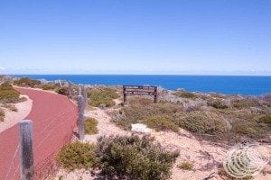
From here, you can look over the cove to Island Rock, a large rock that looks like it was at some point an outcrop from the cliffs and could have even been a second natural bridge. Now though, it is separated from the cliffs and stands on its own.
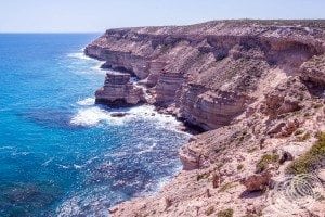
The cove itself is shallow, so the blue Indian Ocean is very vibrant and crystal clear. You can see straight through it to the rocks below.
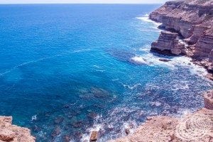
岛岩
It actually isn’t far from Castle Cove to the Island Rock Lookout, and to be honest, the Castle Cove Lookout actually gives you a better view of the whole rock.
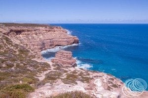
Island Rock Lookout is only 800m from the Natural Bridge, so it’s not far to walk, but if you want, you can also drive into the Island Rock Lookout carpark.
From here, you can look back towards Castle Cove, so you see Island Rock from the opposite side. It is closer, so you get a better look at the detail in the rock, and it does make it look more like an island, but if you are pressed for time, you could just do the Castle Cove Lookout and rest easy knowing that you saw Island Rock as well!
The Grandstand
Our last stop along the Kalbarri cliffs was the Grandstand. The access road brings you in nice and close, and from the carpark, you can again follow the paved walking track out to the viewing point.
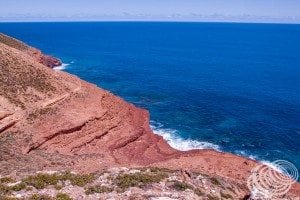
As with the rest of these coastal sights, the Grandstand has of course been named because it looks like a grandstand. The red sandstone is perhaps at it’s most vibrant here. The reds seemed almost unreal to us as they are so rich.
Port Gregory and the Pink Lake (Hutt Lagoon)
Heading south from Kalbarri along the coast brings you past the Pink Lake, also known as Hutt Lagoon. To get the best views of it though, you have to head to Port Gregory.
Port Gregory is an unusual port in that it is a tiny town that doesn’t really have any kind of port at all. If you drive all the way through it, you get to a beautiful beach that could just about pass for one on a tropical island somewhere, even down to the little shanties.
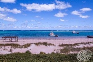
There’s a small jetty and a few little fishing boats that operate from the town. Otherwise, though, that’s about it.
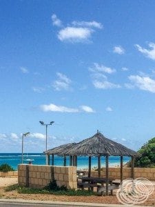
If you are short on time and just want to see Pink Lake, you don’t need to go all the way into Port Gregory. Instead, the best vantage point for Pink Lake is the road in.
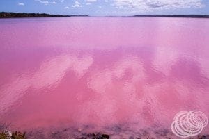
It passes through just above water level, with the lake only metres from its edge. From here you can get brilliant views of the vibrant pink water.
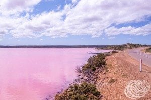
Hutt Lagoon is pink due to the presence of a bacteria in the salt called Dunaliella salina. This bacteria produces beta-carotene that in turn is a red/orange colour and is farmed in a 250 hectare series of ponds connected to the pink lake. It turns out that this farm is actually the largest microalgae production plant in the world.
Hutt River Province / Principality of Hutt River
Next up, we passed through Northampton on the way to Hutt River Province, now known as the Principality of Hutt River.
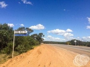
Yes, this does require doubling back on ourselves. Unfortunately, this is the quickest way to get to Hutt River Province on sealed roads from Kalbarri. If you have a four-wheel-drive or aren’t worried about taking dirt roads, then there is a shorter route from Kalbarri to Hutt River on unsealed roads.
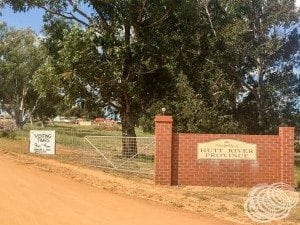
The Principality of Hutt River Province is a fascinating place that claims independence from the Australian Federation.
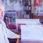
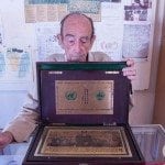
We were fortunate enough to meet Prince Leonard Casley, the founder of the Principality, on our visit. He is getting on in age and stepped down from the throne in February this year, crowning Prince Graeme as the new ruler.
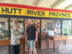
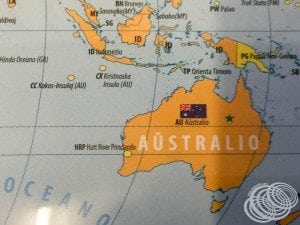
Prince Leonard makes the claim that he successfully seceded from 澳大利亚 in 1970, of course, the Australian Government, primarily the ATO, disagrees.
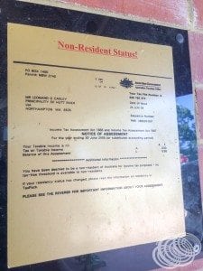
You can read all about the history and disputes on Wikipedia here, but regardless of the legal status of Hutt River, it makes for a remarkable tourist attraction.
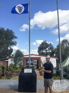
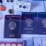
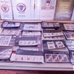
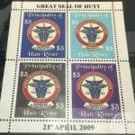
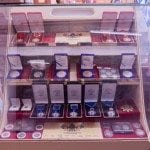
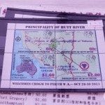
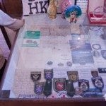
Over the years, the province has produced just about everything a country could be expected to have, including coins, banknotes, stamps, medals, passports and more.
If you want to visit though, the gates are open from 9am to 4pm, and a “visa” is required, which can be purchased on arrival in the form of a passport stamp, or a ‘government’ card.

It costs $4.00 per person with free entry for children. These ‘visas’ are purchased at the government building/post office after you enter.
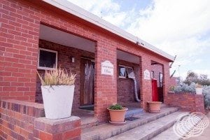
Once you’ve bought your ‘visa’, you can explore the public areas of the province, and if someone is available, they can tell you about the history and some of the highlights.
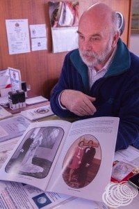
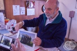
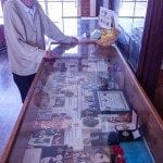
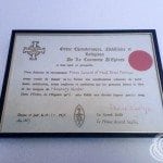
For us, Prince Graeme shared much of the principality’s past, and Prince Leonard showed us various letters he has received over the years that are of particular significance, including one from the Queen of England.
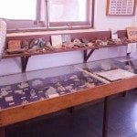
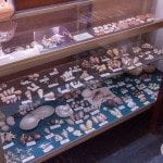
In many ways, the public spaces are both a museum and a testament to the eccentricities of Prince Leonard and his late wife, Princess Shirley. There are collections of all kinds, from shells to coins, to gemstones, to bank notes, to passports and all types of province memorabilia produced over the years.
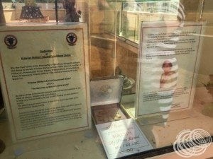
There is a church, which has its own quirks, and a recently built shrine called “Princess Shirley’s Sacred Educational Shrine”.
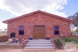
I mean no disrespect, but the irony of these two concepts amuses me. It is, however, just another example of the unusual combination of things you will find here.
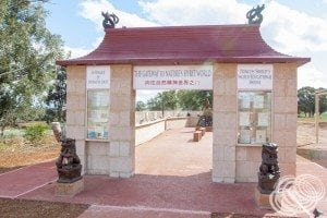
It was constructed following Princess Shirley’s passing and honours the exploration of the spirit world that she was so interested in.
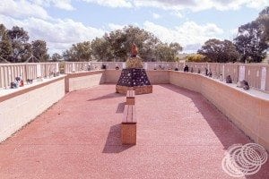
It also incorporates various calculations that Prince Leonard has come up with to represent different aspects of that world.
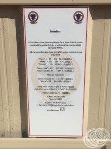
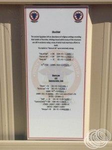
It’s an eclectic mix of math and Chinese spirituality that left me feeling incredibly uncomfortable.
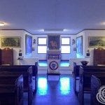
这座教堂可以被称为乡村小镇的一座小型天主教堂。
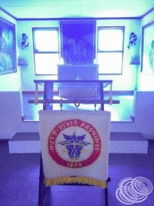
里面出奇的黑暗,窗户都染上了蓝色,让里面有一种非常诡异的气氛。
然后,当然不能错过伦纳德王子头部的巨大雕刻。
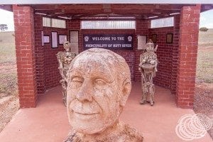
我们在这里花了大约一个小时。这是一个了不起的地方,尽管到处都是刺眼的红色泥土,但仍然有美丽的花园,非常热情。
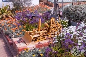
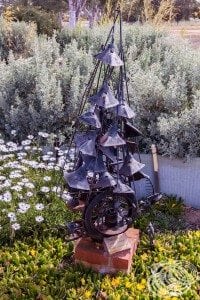
如果您想真正查看所有藏品,您可能会花更长的时间,而且它肯定会添加到不寻常的景点列表中,即使只是为了会见热情的 Casley 家人并听听他们不太可能的故事。
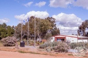
Geraldton HMAS Sydney II Memorial
我们回到北安普敦,经过它到达杰拉尔顿。杰拉尔顿拥有近 40,000 人口,是自达尔文以来我们遇到过的最广阔的城镇,是第二大城市的两倍多。尽管它仍然相对较小,而且看起来仍然很偏僻,但突然间感觉你又回到了文明,购物中心,双车道穿过城镇,还有麦当劳。

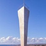
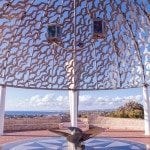
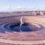
我们在这里看到的是 HMAS 悉尼 II 纪念馆.
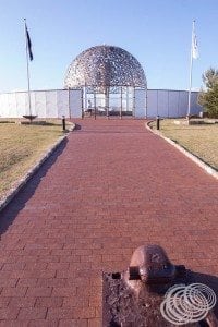
访问美国后,我们意识到在 澳大利亚,我们经常没有给予我们的士兵应有的尊重,因为他们为保护我们所做的承诺和牺牲。不一定是因为我们没有纪念碑,或者我们没有为它们付出努力。更多是因为我们作为人在记忆方面做得不好。皇家海军陆战队 悉尼 II 是一个感人的纪念碑的例子,你不能不记得。它以如此深刻的方式向我们阵亡的士兵致敬。
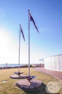
1941 年 11 月 19 日,HMAS 悉尼 II 在护送西兰迪亚军舰前往新加坡后返回弗里曼特尔途中,被一艘假装是遇险商船的德国船只 HSK Kormoran 击沉。遗憾的是,尽管 悉尼 让 Kormoran 停止行动并迫使其水手弃船,船上所有 645 名澳大利亚水手 悉尼 输了 (在这里阅读更多).
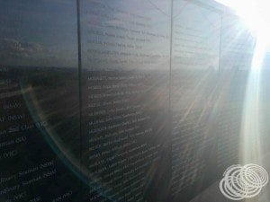
我们在杰拉尔顿的纪念馆中记得的正是这些再也没有回来的水手。
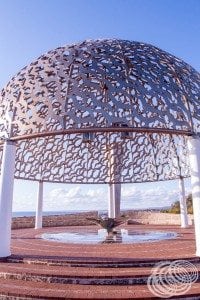
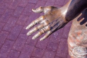
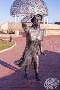
纪念馆以其许多纪念的象征而动人,尤其是等待的女人。
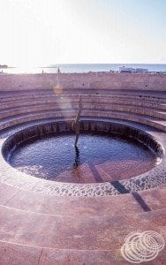
其他象征元素是纪念墙、灵魂穹顶、石碑、永恒之火和纪念池。
纪念馆位于小山上,可以俯瞰城市和大海,就像等待的女人一样,随着太阳开始下山,这里的气氛很吸引人。
免得我们忘记。
Other sights around Geraldton
杰拉尔顿还有更多可看的,但遗憾的是,当我们离开 HMAS 时,太阳已经开始落山了 悉尼 II 纪念馆,所以去拜访他们已经来不及了。如果有时间,还可以参观老维多利亚之家医院、老杰拉尔顿监狱、老警察局、港口和摩尔角灯塔。在继续前往 50 分钟路程外的唐加拉丹尼森港之前,我们快速地绕城一圈看看我们能做些什么。
我们刚好在太阳从地平线上消失时到达,并入住了 Big4 Dongara Denison Beach Holiday Park。我们得到了一个 $37/晚的供电站点,对这些设施印象非常深刻。更不用说,它就在水面上,所以你可以整夜听海浪。
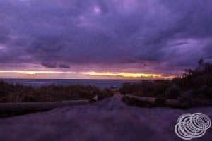
多么美好的一天!
