Day 4 is one of the few days where we doubled back on ourselves. Unfortunately, it’s impossible to go to Derby and not double back while staying on sealed roads.
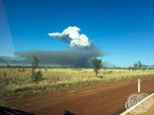
If you get this far, it is worth taking the detour and heading up to Derby.
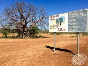
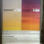
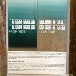
Derby is located on King Sound where it gets the largest tide differentials in Australia.
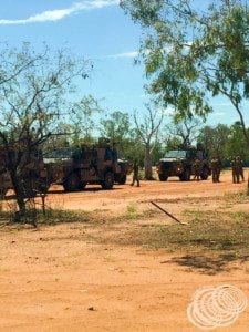
Its location as a Northern coastal town means it has been the home of a lot of action over the years, from being a major stock route for live export to getting bombed by the Japanese during World War 2. It’s now the home of the Army Reserve’s NORFORCE remote surveillance regiment.
It’s also the only town I’ve encountered where there are boab trees down the centre of the main road.
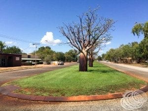
It is scorching and humid, but also a remarkably beautiful, well-maintained town.
As you are heading into town on the Derby Highway, you will pass a windmill on the right, that feeds a long watering trough.
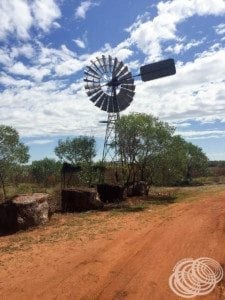
This is Myall’s Bore and Trough, the trough is 120m long, and was used to water the bullocks coming into town for shipment.
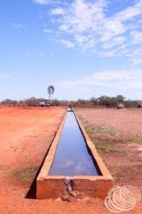
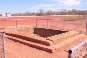
This is the most visible landmark from the road. Also just off the road in the same place is Frosty’s Pool, the remnants of a small concrete pool built in World War 2 and named after the man that started it, Charles Frost.
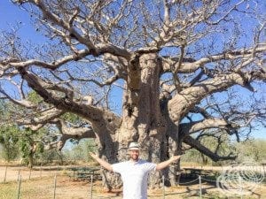
On the other side of the bore and trough is a dirt road that will take you to a car park. From there it is a short 15-20m walk to the Boab Prison Tree.
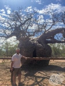
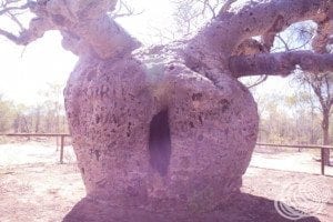
This enormous boab tree has a hollow centre and was once used as a temporary lockup for prisoners being taken into town. It is about 14.7m in diameter and is believed to be about 1,500 years old.
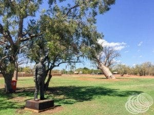
Just in town, opposite the NORFORCE base is a park with a leaning boab tree that is kind of cool.
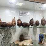
If you continue down the main street of town (the same one you came in on), you will pass the visitor information centre which is worth checking out for tidal and area information.
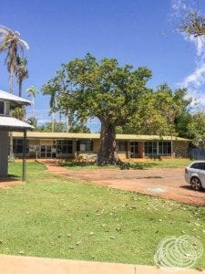
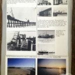
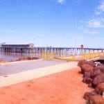
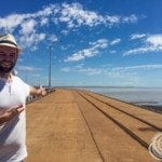
At the end of the main street, you will eventually reach the Derby Wharf/Jetty.

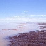
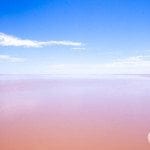
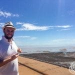
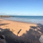
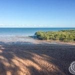
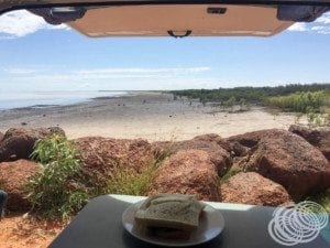
Depending on what time of day you get there you just might get to see the tide at it’s lowest or towards it’s lowest. When we got there it was very low, and seemed really odd to see the jetty so high above the water. The waterline makes it pretty obvious that the tide does come up a long way, but even so, it seems to abstract looking at this jetty that is towering over the water.
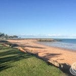
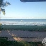
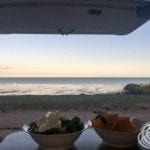
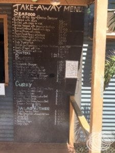
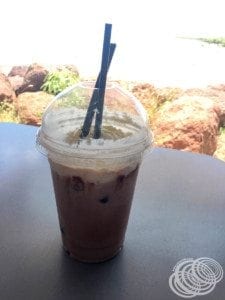
We decided to get a iced chocolate from the little cafe near the jetty (worth it), and had lunch in the back of our van looking out over the beach.
On the way back through town we fueled up, and then continued onwards to Broome. It’s about a 2 and a half hour drive with a crossing of the Fitzroy River at Willare Bridge.
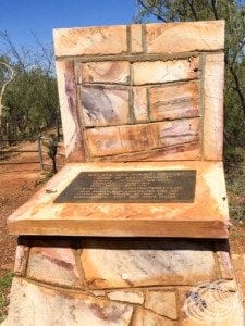
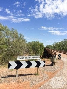
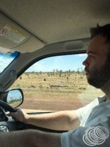
The scenery is mostly boab trees and termite mounds and about half an hour out of Broome you will pass the Roebuck Plains Roadhouse. Otherwise, there isn’t much of anything else in between the two.
As we came into Broome we saw the visitor information centre so we stopped in for a look and to make a final decision on what caravan park to stay at.
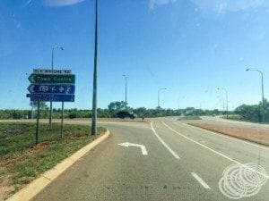
We were sure from our googling previously that there was one caravan park on the water’s edge. Unfortunately, we couldn’t find it in any of the information centre brochures and the lady there couldn’t think of one directly on the water, only one across the road from the water. We went and had a look at it but it was not the one we saw online. After some searching online we finally did find it, the Roebuck Bay Caravan Park. So we checked out the town a little more, driving around, and then went the park and checked in, booking a waterfront spot.
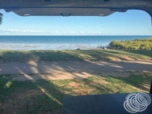
We were going to stay for 3 nights in total, but they only had one site on the water for the first night and a different site for the second two. This is fine since we pack up and leave in the van anyway, it makes no difference to setup at a different site.
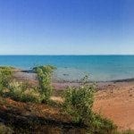
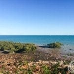
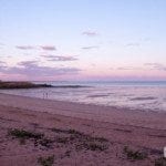
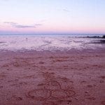
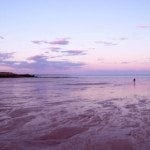
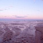
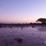
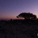
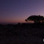
After settling in we enjoyed the sunset from the back of our van out over the water. Beautiful.
